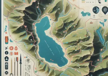
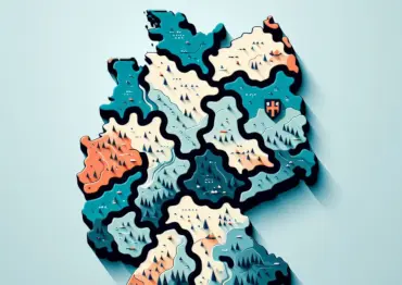
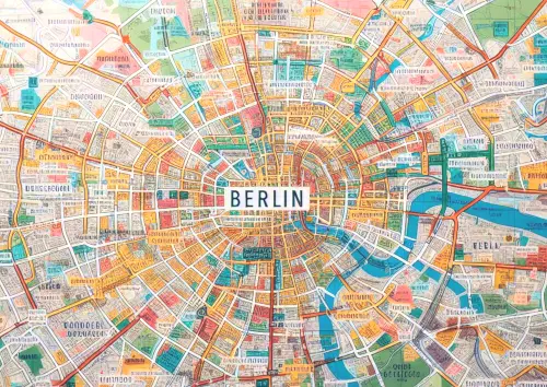
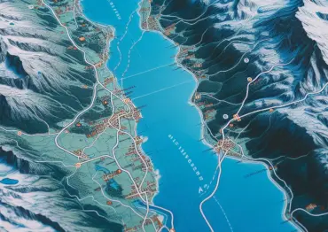
Handcrafted custom maps for your graphic design project

Hiking maps, city maps, overview and location maps: We design maps of all kinds for companies, public institutions, magazines, transportation companies and tourism. License-free vector maps (printed on request) at a low fixed price for PDFs and Adobe Illustrator - order now!

Map example

Royalty-free vector maps

Our maps are optimized for Adobe Illustrator® as standard, separated by layer and available for download in 1 - 2 working days. We only deliver PDF files in vector format with editable fonts, we don't use raster data! By using free OpenStreetMap data, we can offer worldwide data coverage - without royalty fees!

Map example – Map in Adobe Illustrator®, seperated by layers
Example of a map - click to zoom

A big selection of beautiful map styles

With more than 30 customizable map styles you'll definitely find what you need. All designs are traced by hand to give you the best cartographic quality. Our easy-to-use map editor helps you to make the right choice - here you can select your area as you wish and switch additional options on and off.

See our portfolio

Attention: Prices vary depending on the size and density of the fonts. The price is calculated during checkout.All prices are non-binding examples without VAT and PayPal transaction costs.

Style Hiking Map

210 mm x 297 mm

$ 161

Style Infographic Blue

210 mm x 297 mm

$ 117

Style London

210 mm x 297 mm

$ 165

Style Berlin

210 mm x 297 mm

$ 165

Style Swiss Mountains

210 mm x 297 mm

$ 209

Style New York

210 mm x 297 mm

$ 137

Style Vienna

210 mm x 297 mm

$ 209

Custom graphic design on demand

From conception to printing

Whether licensed fonts, colors matching your corporate design or your own data sources from Excel files: We create map styles according to your wishes, visualize points and lines and, if desired, also take care of the entire graphic design, e.g. for city maps with local advertisements. Additionally, we can also print and deliver your map through our partner print shops.

Free consulting - just write us!

Are you having problems with your digital download or problems with our editor? Email us for free support at support@maps4print.com. We're always looking forward to critique and suggestions!

Outstanding quality with our state-of-the-art software

We love old, hand-drawn maps. But drawing them by hand is time-consuming and expensive. As there weren't many software solutions specifically for cartography, we developed our own in 2017, which we use to trace map data semi-automatically. This allows us to offer both quality and a comparably affordable price.

No licensing fees

We create professional vector maps from OpenStreetMap data. This data is available for free - so you don't need to pay extra for more print runs.

Maps4Print web application

Frequently asked questions

  • What do you offer that other providers don't?

    In difference to many other map providers, we can offer:

    • Vector data instead of raster data
    • Editable fonts with included font files
    • Layer-seperated Illustrator® files without extra fees
    • Manual cartography - leading to easy-to-read labeling and higher information density than auto-generated maps
    • Full rights to print as many copies as you want: your map is yours
    • Fair pricing - dependent on map size and label density: you don't pay for what you don't use
    • Optional: Complete street index, important for city maps
  • What do I receive once I order a map?

    You'll receive:

    • The map as a layer-separated .ai (Adobe Illustrator®) file as vector data
    • The map as a layer-separated .pdf (Portable Document Format) file as vector data
    • A legend of the map and a scale bar as separate PDF files
    • All font files used in the map
    • (Optional) A .csv file containing the complete street index of the map
  • Is the map in a raster format or a vector format?

    Our maps use only vector data, separated by semantic layer (i.e. roads, landuse, city labels, street labels). We do not rasterize the map data, as many other providers do.

  • I want to change the colors of lines in the map. Is this possible?

    Yes. Since we deliver a map separated by layers, you can select, transform and edit all shapes in the map using a vector graphics editor such as Adobe Illustrator® (paid) or Inkscape (free).

  • Do you offer custom map styles?

    Yes. If you need your own design, you can send us a request either via the chat (bottom right) or via our e-mail support@maps4print.com about how you would like your map to look. Please also send us any documents required to create the map, such as your own fonts, point files, lines (in GPX, KML or GeoJSON format), logos, advertisements, etc. We will then provide you with a quote and send it to you by e-mail.

  • Can I change the font, font size or edit the label text?

    Yes. Unlike many other providers, we deliver maps with editable fonts included in the PDF. You can edit the labels either using Adobe Illustrator® or a program that can edit PDF files - such as Affinity Designer or Inkscape

  • What happens after I pay?

    You'll receive a confirmation email with a regular invoice and your order will be stalled until the payment transaction is confirmed (for example, credit cards do not transfer money immediately - we need to do this in order to prevent fraud).

    After receiving your payment, your map is processed within two working days (excluding Saturday / Sunday). You'll receive another email with a download link to your ZIP file containing the processed order (contents outlined above).

  • Will I receive an invoice with a separate VAT?

    Yes, we report tax separately on our invoices. You will be able to download a regular invoice with all information about your order after you pay. You can download your invoice from your account page, where all orders are listed.

  • Do you offer a refund period? What if I don't like the map?

    We can't refund your order after processing it, but you can request up to two revisions, in case there are problems. These revisions are free of charge.

  • You have the right to do whatever you want with your map, except for reselling the files. You can print unlimited copies, sell your printed maps, use them in your graphic desing project - the only restriction is that you have to put © OpenStreetMap contributors | Maps4Print somewhere. See our Terms of Service.